Understanding Traffic.
We provide high-quality naturalistic traffic and scenario data for a wide range of applications. The data enables analyzing and understanding the behavior and interactions of traffic participants.
Whether you develop, test or validate ADAS and AD systems, perform traffic, driver or pedestrian behaviour studies, or infrastructure monitoring and planning, our datasets and services can provide you with the information you need.
Large Database
We have a large database of trajectory data and scenarios from various locations and traffic domains available.
Custom Data
We collect and process traffic data, that fits your specific requirements.
Applications
Our data is advantageous in many traffic-related applications. We support you in integrating our data into your tool environment.
High Quality
Our sophisticated quality management guarantees highly precise and complete trajectory data.
Trajectory Data
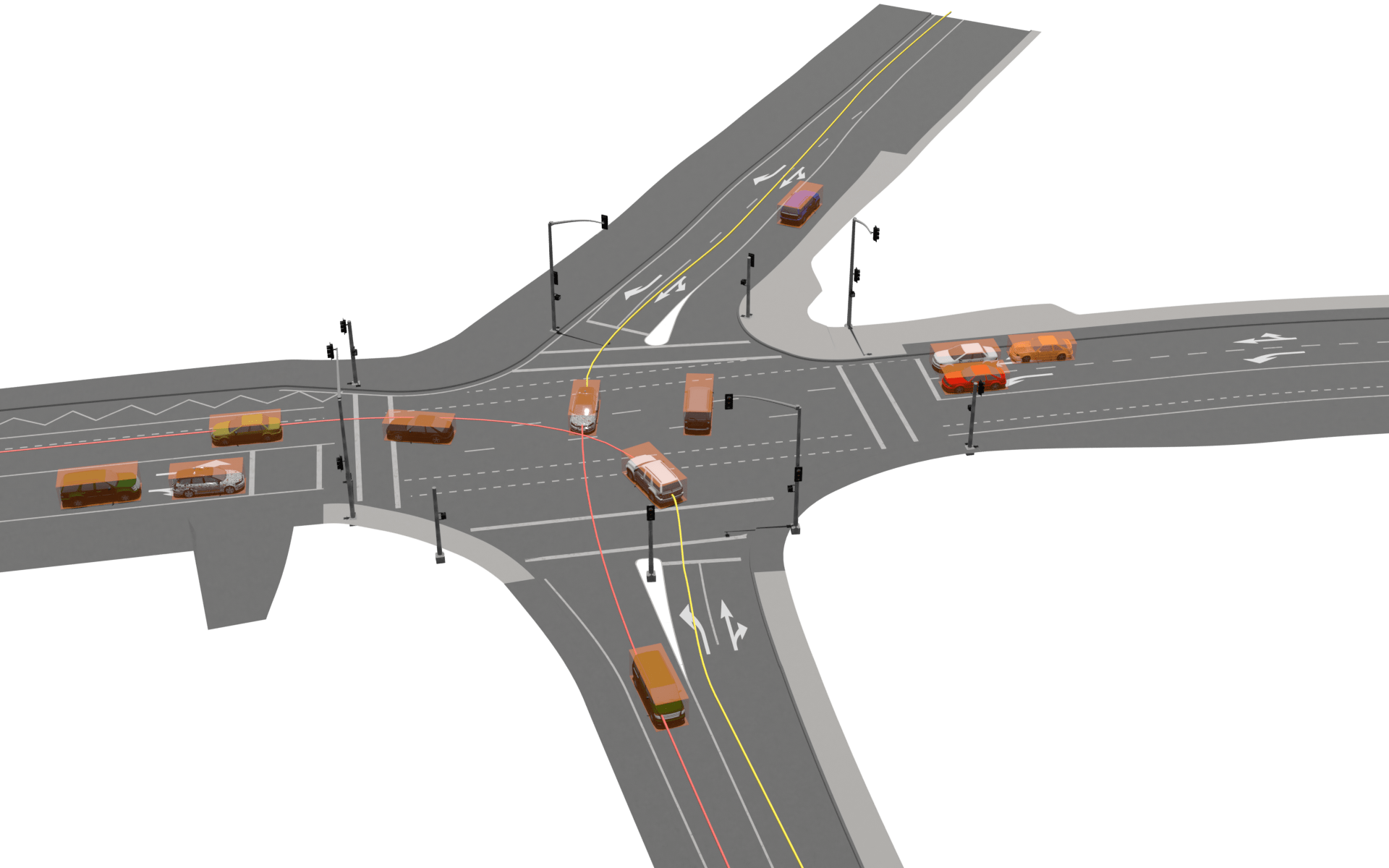
We create trajectory datasets of different domains like highways, urban areas, roundabouts, construction sites, signalized and unsignalized intersections (including high accuracy traffic light information) or rural roads. The extracted data is of highest quality in regards to accuracy, tracking, classification and enrichment. We have experience in combining multiple sensor sources and are ready for your individual request.
Digital Maps
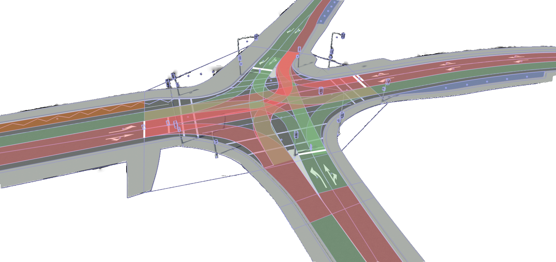
We provide high-definition maps for all our datasets. These maps allow you to interpret the trajectories as a function of the infrastructure. We support ASAM OpenDRIVE and Lanelet2 formats. Additonaly, the maps enable you to easily use our trajectory data in all major simulation tools. For this, we offer the 3D environments matching the maps in all major formats (*.osgb, *fbx, etc.).
Supplementary Data
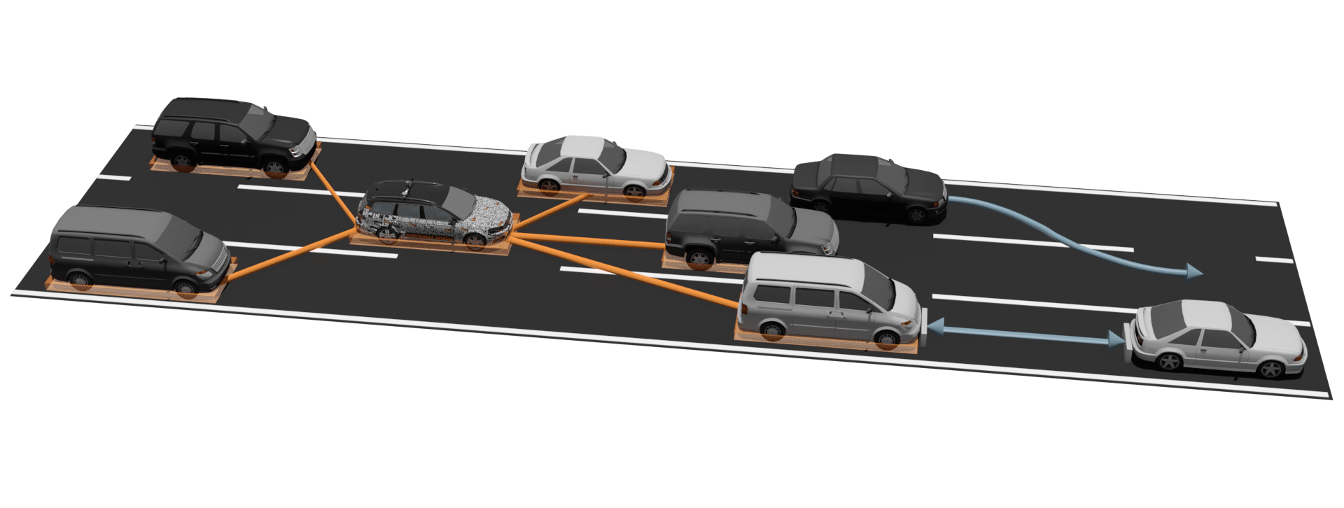
Alongside the trajectory data, we add supplementary information like lane ids, surrounding vehicles, KPIs like time-to-collision (TTC) and time-head-way (THW) and lane coordinate information with our sophisticated enrichment algorithms. The enrichment results base on the included opendrive and lanelet maps. We also automatically extract scenarios using different schemes as Pegasus, Bast or your custom scenario scheme.
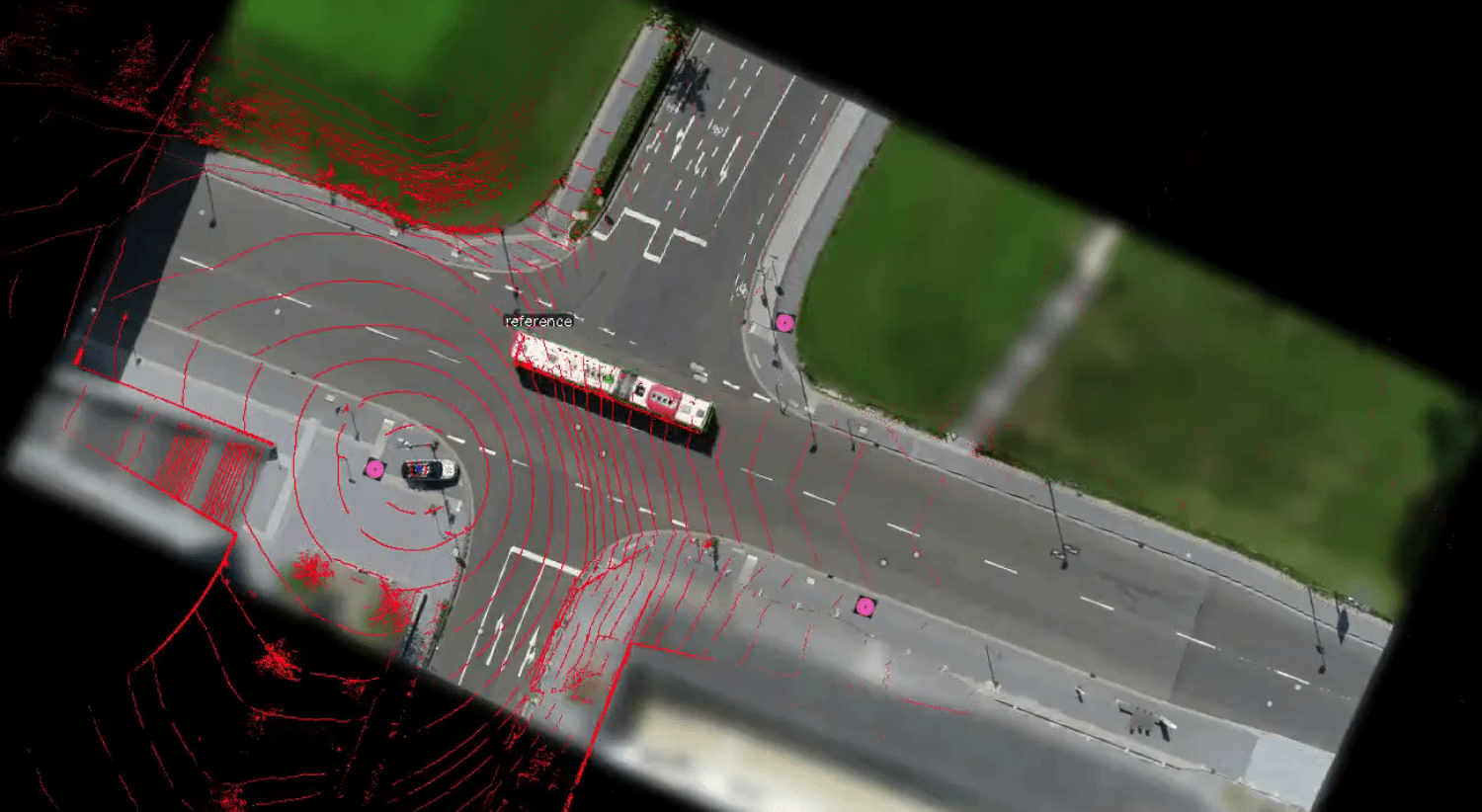
Reference Measurement
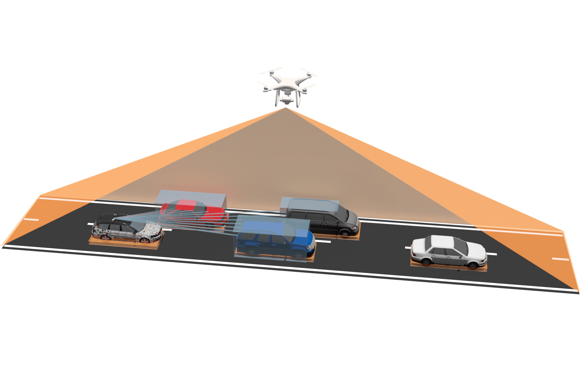
Perception systems of highly autmated vehicles require complex sensor systems to accurately perceive their environment. Typically these perception systems consist of a combination of multiple sensor types. Due to the complexity of each sensor system, large amount of highly accurate data is necessary. We developed methods to create highly accurate reference measurement of all road users. The methods can be applied in a static or dynamic environment.
We have the right data for your use case
Showcases
Highway Data
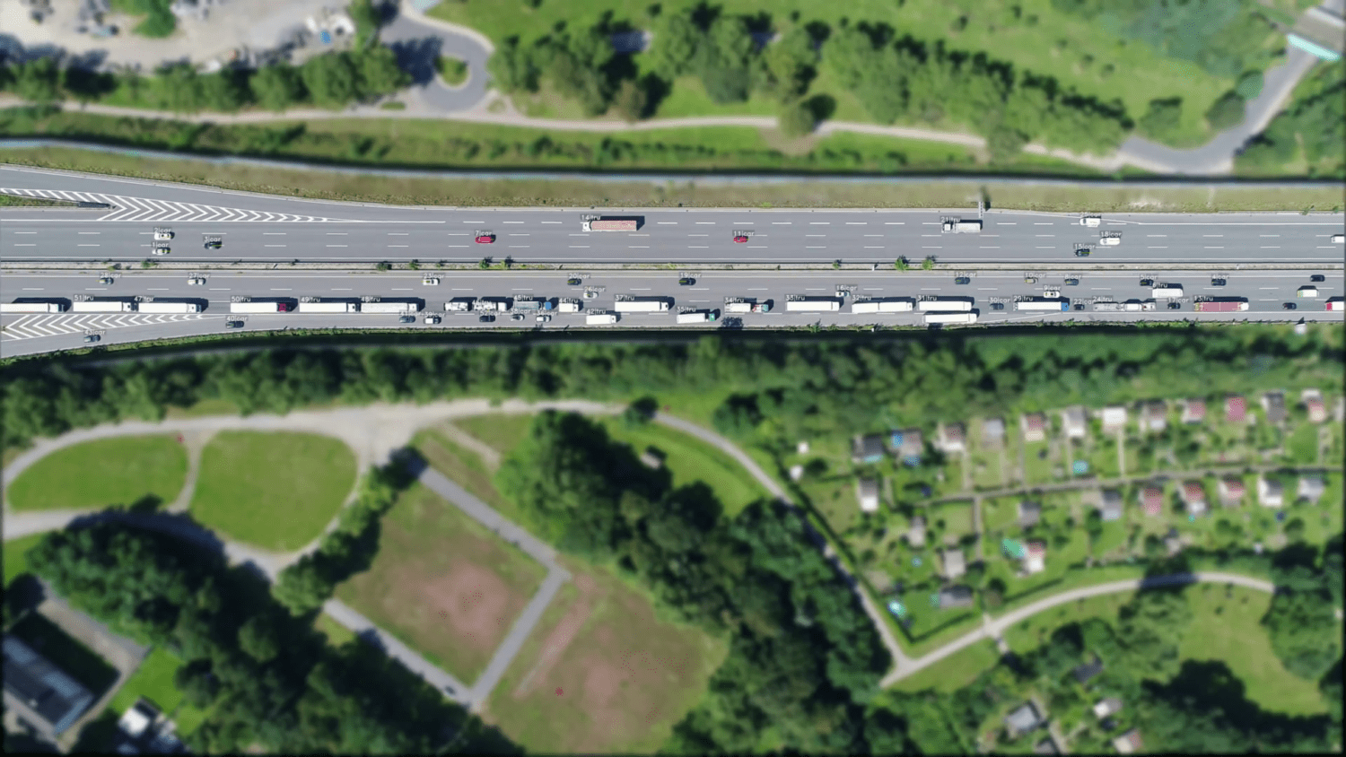
Our highway trajectory datasets provide comprehensive and detailed trajectory data for highway driving scenarios, including merging, lane changing, and other complex maneuvers.
Our datasets are carefully curated and thoroughly validated to ensure the highest level of accuracy and reliability. They contain rich information about vehicle movements, such as speed, acceleration, position, and orientation, enabling you to develop cutting-edge algorithms for highway driving scenarios.
Urban Data
Looking for the most comprehensive and accurate urban trajectory data for developing your autonomous vehicles, driving assistance systems, and other urban-related applications?
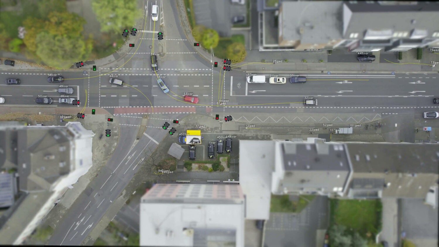
Our urban trajectory datasets are some of the most advanced in the industry. The datasets contain all road users from vulnurable road users to vehicles.
Trusted by leading automotive companies and research institutions worldwide, our datasets are the ultimate source of urban trajectory data for developing the next generation of autonomous vehicles and driving assistance systems.
Special Locations
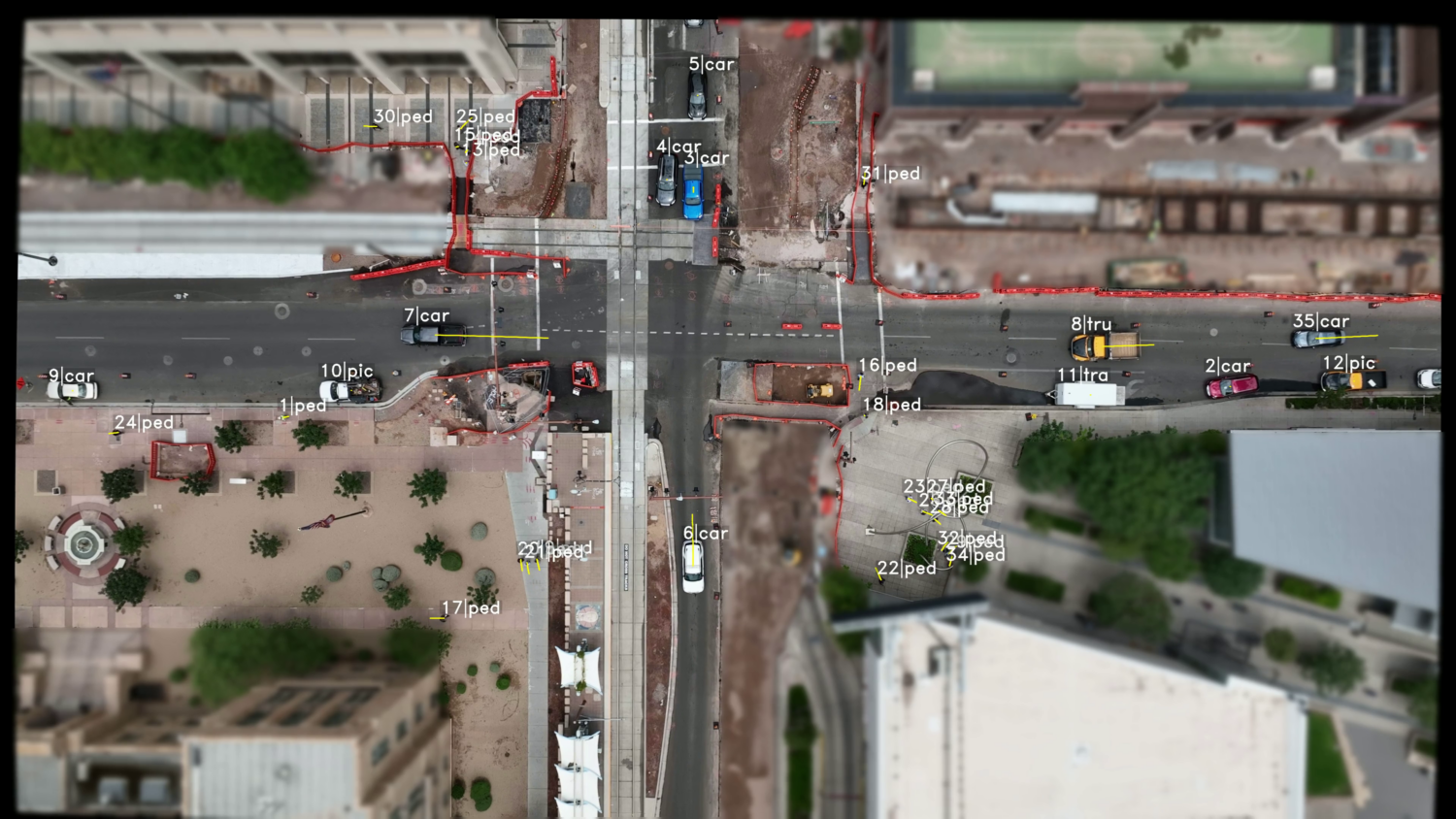
Construction sites are still a significant challenge for autonomous vehicles due to the unpredictable and dynamic nature of these environments. Construction sites are constantly changing, with workers, vehicles, and equipment moving in and out of the area. We collect this valuable data from construction sites and provide it with high accuracy for your use case.
Reference Data
Our reference system can provide this data by offering a standardized and accurate point of reference for the perception system to use. We participated in the L3Pilot project with a pilot system.
Our public datasets
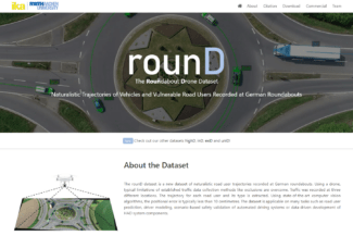
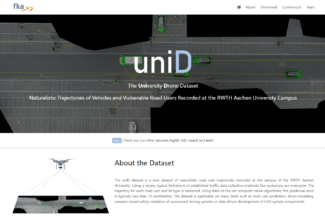
In cooperation with ika, the Institute for Automotive Engineering at RWTH Aachen University, we have created a representative series of datasets which are free for non-commercial research. Our goal is to help the research community finding innovative solutions for the challenges of intelligent mobility.
About us
leveLXData is a brand of fka GmbH and was founded in 2018.
For 40 years, fka has been internationally known as an innovative engineering service for the mobility industry. Driving the world by developing ideas and creating innovations is the mission statement that fka’s 160-strong team is committed to.
The team is inspired by a passion for efficient, safe and fascinating mobility. As one of the first companies on the Aachen campus, the spin-off of the Institute for Automotive Engineering of the RWTH Aachen University demonstrated entrepreneurial foresight. Interdisciplinary expertise in all aspects of mobility and technological visions, combined with the advantages of the inspiringly creative location, are fka’s fuel. Ideas, innovations and unique methodological expertise are shaped into well-founded and secured solutions that give fka’s customers the necessary edge in a wide range of issues. A complete spectrum of services, ranging from consulting and conception to simulation and design, prototype construction and experimental testing, forms the basis for this.
With the credo „creating ideas & driving innovations“, the team constantly has the mobility of the future in mind.
